Gravity Images Reveal Lost Continents Under Antarctica
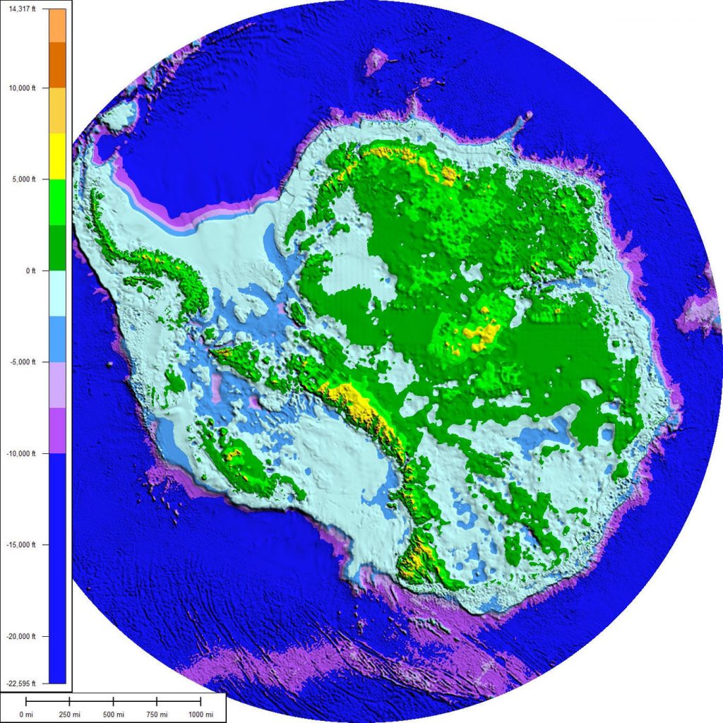
For four years, the European Space Agency’s Gravity field and Ocean Circulation Explorer (GOCE) satellite accumulated data on Earth’s gravitational field. Now, scientists are using that information to best understand what lies beneath Antarctica’s ice sheets. Here, they’re learning that East and West Antarctica bear fundamental differences, including lithosphere thickness. Underneath the former, there are actually several similarities to the continent’s closest neighbors. Read more at VICE.
Via motherboard.vice.com link opens in a new window