Google Mapping Rio de Janeiro’s Favelas
Understanding the obstacles in mapping these unique cities-within-a-city


From a foreigner’s (or even many Brazilians’) perspective, it’s easy to label the “favelas” of Rio de Janeiro as slums run by drug cartels, racked with crime, violence and poverty—and terrorized by police. Despite many outer communities still lacking access to stable water and sanitation networks, there’s been a recent shift in breaking down historic barriers for favela residents to fully participate in—and be embraced—by the rest of the society. One crucial effort from Google has come to fruition as Rio prepares to welcome a huge wave of international visitors next month. (Though locals are quick to point out the city hosts two million visitors every year for Carnival, compared to the estimated 500,000 for the 2016 Summer Olympics.) Google has been working with non-profit AfroReggae to map what was formerly un-mappable: the narrow, winding streets and local businesses throughout these unique, self-sufficient “cities-within-a-city.” In Rio, on in five people live in favelas (according to a 2010 census), and being on the map—aka searchable online—shows that they exist.
It’s interesting considering back when it first launched in 2007, Street View received backlash from privacy activists. Whereas now, the Google Maps feature has become taken so much for granted that people don’t understand why favelas haven’t been mapped properly—as even Antartica has been captured at this point. Much of the favelas cannot be accessed by cars—thanks to twisting, turning narrow cobblestone paths that travel up steep hills—but moto-taxis, bikes and pedestrians can get through easily. Volunteers and staffers have typically used the Trekker (a backpack-sized camera system) or a tripod + digital camera set-up for places accessible only by foot, like the Grand Canyon or Everest base camp. But in a city where non-Cariocas are advised not to pull their smartphones out in public, bringing any sort of attention-causing camera equipment into favelas was similarly advised against. The solution: locals and their phones.

Google partnered with AfroReggae—which, since 1993, has been providing cultural and artistic education to youth living in the slums, offering a path away from drug trafficking and violence—for the endeavor. The cultural group has a dedicated project called Tá no Mapa, which translates to “It’s on the map.” Favela residents are trained in digital cartography, tagging streets and landmarks as well as registering local businesses—simply (and discreetly) using their smartphones and the Google Map Maker app. The progress they’ve made since 2014 is staggering, as seen in the before and after photos below; it’s a small section of Rocinha, Rio’s largest favela.

Beyond the feel-good advocacy for inclusion, increased awareness and visibility—not to mention instilling a sense of pride and belonging—the Tá no Mapa project has clear economic and social benefits. Tourists already take guided group tours through some of the more picturesque, foreigner-friendly favelas like Vidigal—add the ability to search stores, gastronomic hidden gems, art, nightlife, and visitors will know what to seek out after the tour ends. A favela kid might have gone into the city center to purchase sneakers; now they can search for a store within their community selling the exact pair they were looking for. And because prices within favelas are cheaper, more people are coming from the city to purchase goods now that the stores are searchable. It’s also good for Google’s business: the more information they offer and collect, the more useful they are—especially to the majority of the favela residents who use a mobile device.

So far, 26 favelas and over 3,000 businesses within have been mapped via Tá no Mapa. But mapping all of the favelas is still a far-off goal. The staff have started with the more pacified favelas, closest to the city center and Olympic events. Morro da Providência, Rio’s oldest favela, is one example of an area that’s still off-limits to staffers for safety reasons. There’s been a lot of worrisome news ahead of the 2016 Olympics—lack of funds, a superbug found in the water, the delayed metro line extension, police on strike due to budget cuts, Zika—but this effort from AfroReggae and Google Maps to make the favelas visible is refreshingly feasible as it is optimistic. It’s work towards a future with less borders, whether they’re physical or prejudiced; and one effort that will be making an actual difference long after the party’s over.
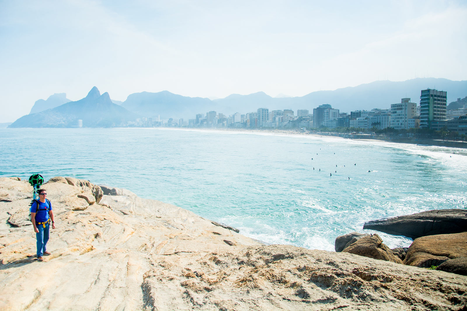
Lead image by Nara Shin, all other images courtesy of Google